Authorization Management
Drone Operation Plan
U-SpaceKeeper Drone Operation Plan service automatically analyzes, processes and pre-approves all flight requests submitted by drone operators.

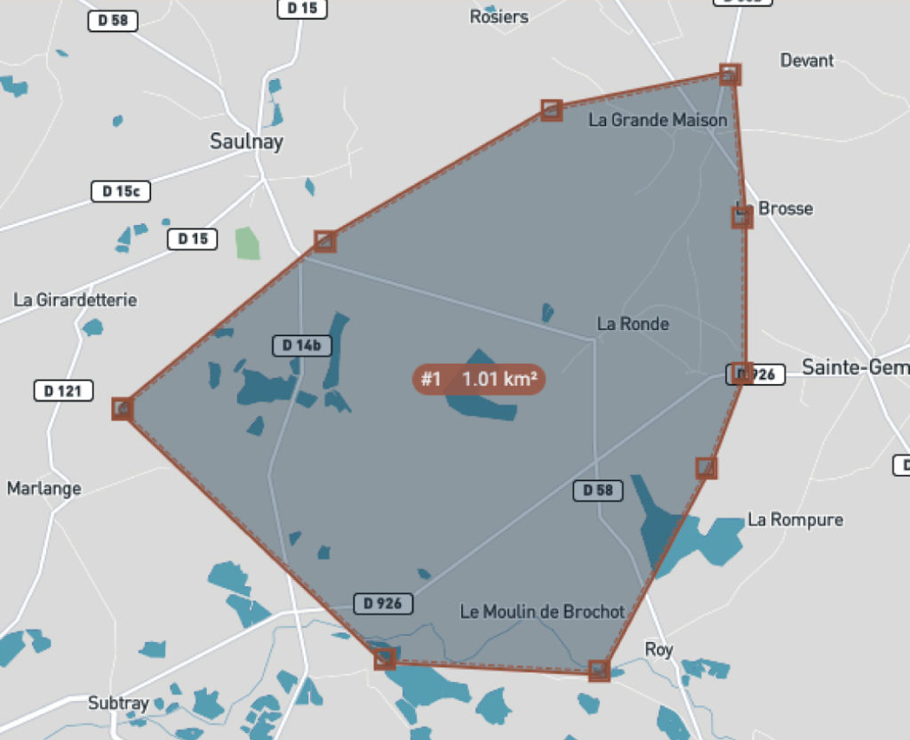
Characteristics, such as type of device, scenario and activity, as well as 4D volumes (latitudes, longitudes, heights, date and time) are assessed against Geo-Awareness geographic data in order to ensure that all flight requests submitted to authorities are relevant, compliant and complete.
Drone operators are notified and can use the U-SpaceKeeper web and mobile platform to submit any additional information necessary for flight request approval.
Air Traffic Control services

The Procedural Interface with ATC service enables drone operators and authorities to exchange information on qualified and compliant flight requests through dedicated chat boards with the possibility to share documents and information in real-time on the U-SpaceKeeper web and mobile platform.
A visual workflow is provided to drone operators in order to monitor the evolution of requests and to view information on authorities processing their request, including processing times.
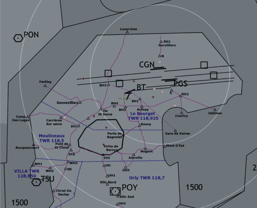
Authorities can visualize flight requests on a map and display related information including weather and simulate the impact of a flight in a given airspace.
Automatic classification and validation of low impact flights using customizable engine rules enables quick and simplified analysis of flight requests. This service enables authorities to apply constraints to flight plans and inform drone operators.


